Ground truth data collection using ASD FieldSpec spectroradiometers
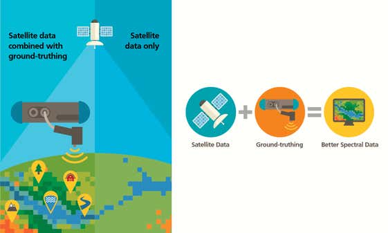
Ground truthing and the collection of ground-truth data on location enables calibration of remote sensing data, and aids in the interpretation and analysis of what is being sensed.
The field collection of reflectance spectra of in-place materials (often referred to as ground truthing data collection) is essential for interpreting unknown materials in multi-spectral and hyperspectral remote sensing data, and validating sensor performance. Since sample removal for lab study often destroys the sample’s surface properties, and because lab study is impractical for many large natural surfaces, researchers need a reliable field device capable of providing laboratory-quality, field measurements with illumination and viewing geometry equivalent to a satellite or aircraft sensor.
Ground truthing devices can provide data for radiometric and atmospheric correction of satellite images. This requires field reflectance measurements of large test panels or large, uniform surfaces such as dry lake beds.
As with ground surfaces, it is essential that researchers measure these targets with illumination and viewing geometry equivalent to that of the imaging sensor of interest.
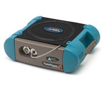
ASD FieldSpec spectroradiometers generate high-quality field spectra at the required illumination and viewing geometry for accurate correlation to satellite and aircraft sensor data. Available in multiple configurations, FieldSpec spectroradiometers are compatible with popular image analysis software packages such as ENVI, ER Mapper, ERDAS Imagine, and MultiSpec, allowing you to create detailed spectral libraries tailored to your application. Bringing a level of device portability that only ASD can provide, the FieldSpec also helps you work in some of the most remote regions of the planet.


ASD FieldSpec rangeThe Gold Standard in Field Spectroradiometers |
|
|---|---|
| Measurement type | |
| Ground truthing | |
| Technology | |
| Near-infrared Spectroscopy (NIR) |